
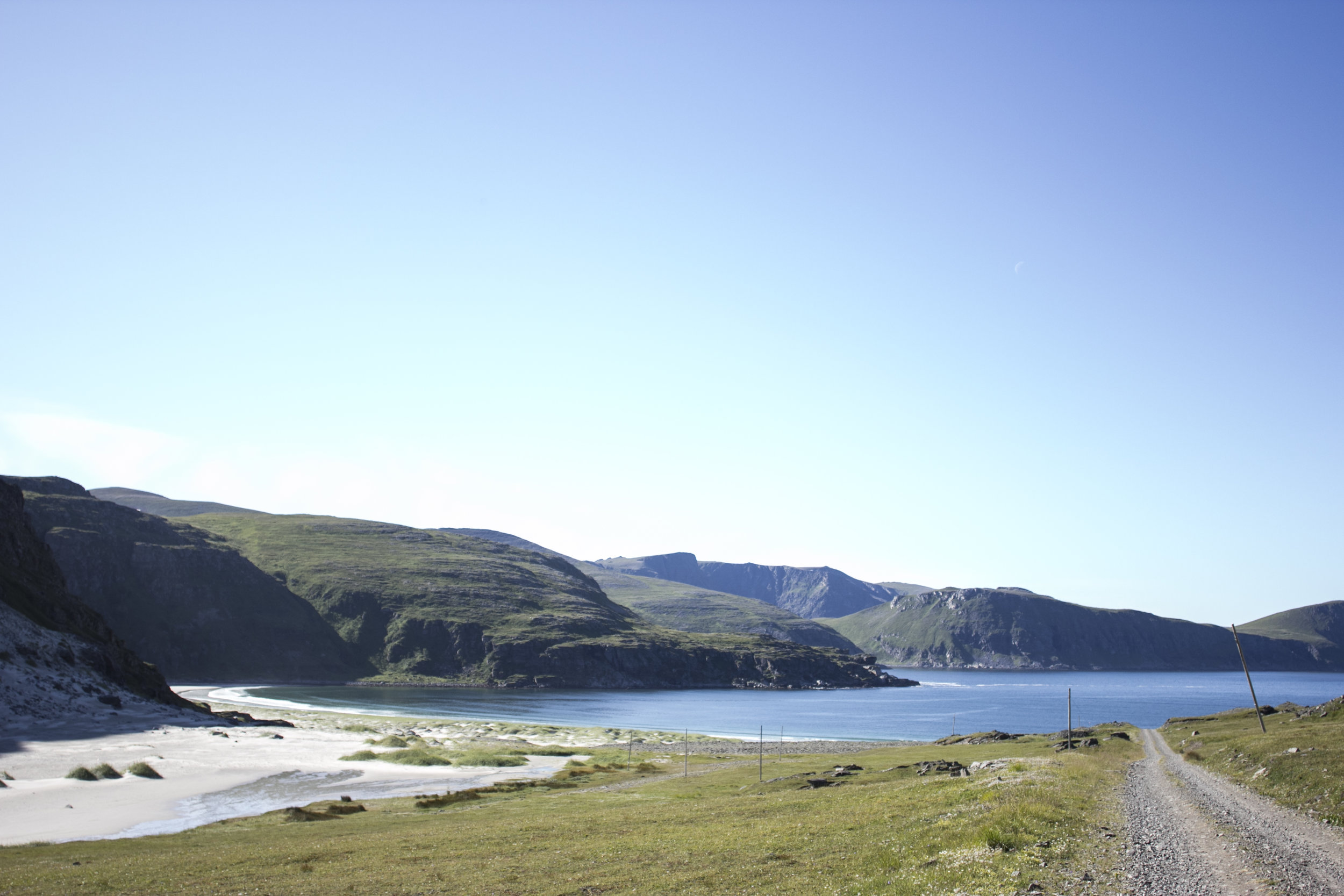
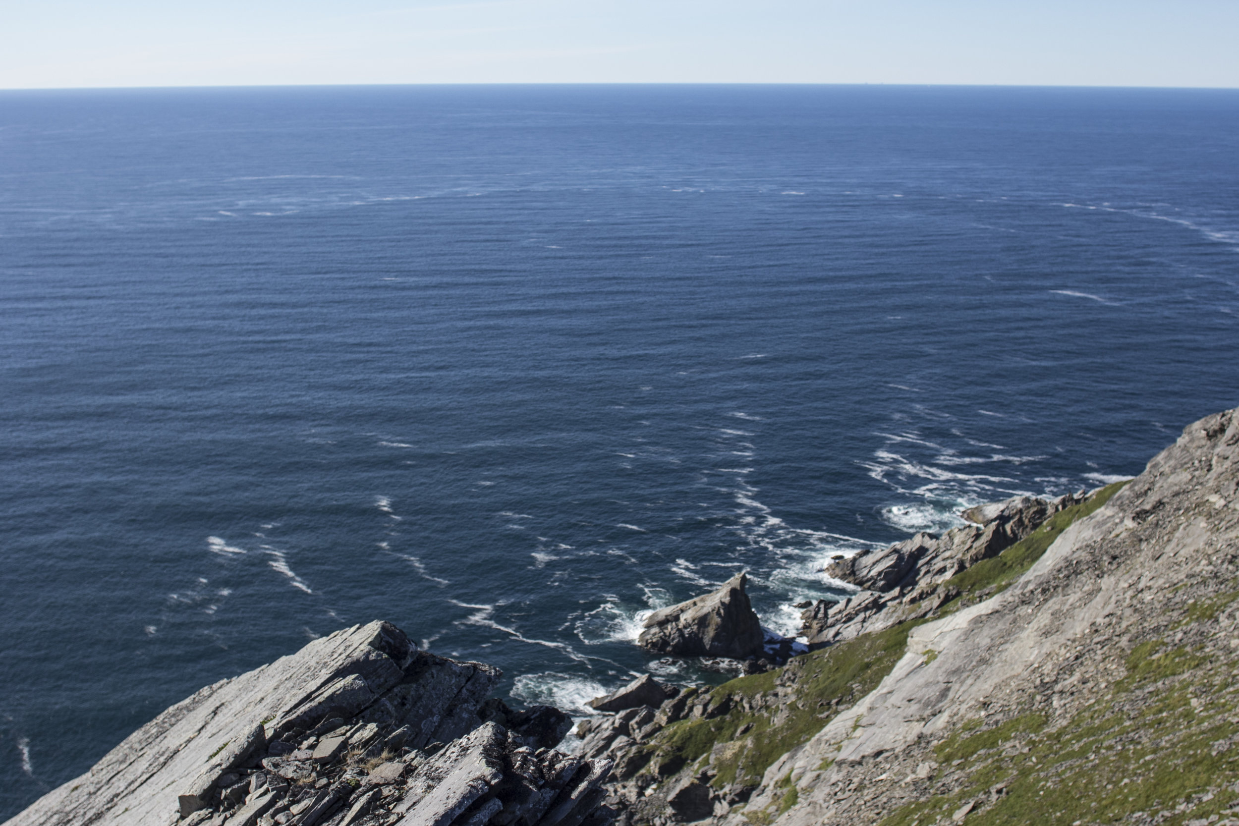
I originally started writing this last week, but other things obviously came up. This was my last big hike in Norway and it did feel like I was going out with a bang. Not only was it by far the longest journey (the round trip was at least 20km) but the views hugging the coast were some of the best/scariest that I've come across so far.
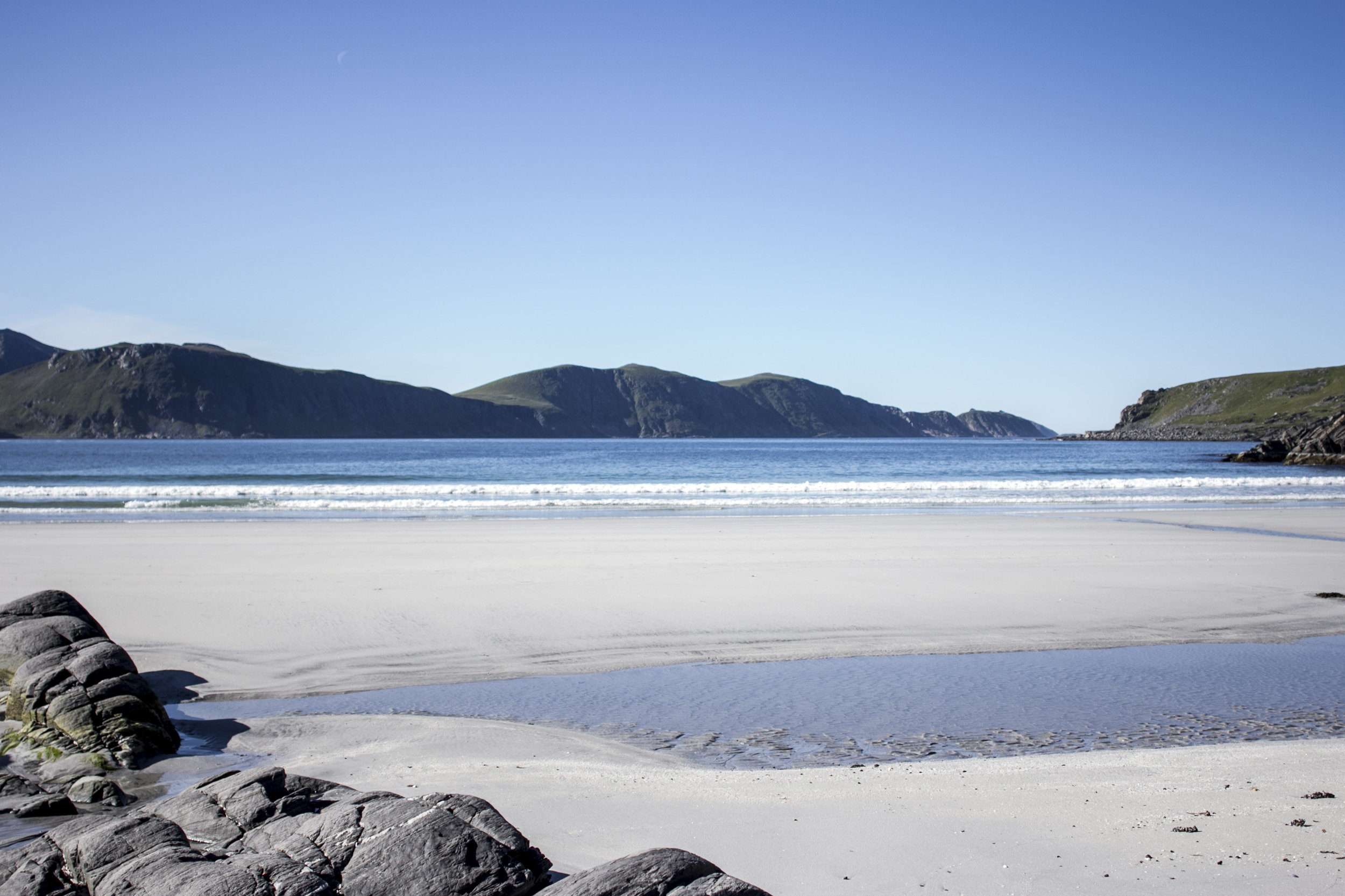
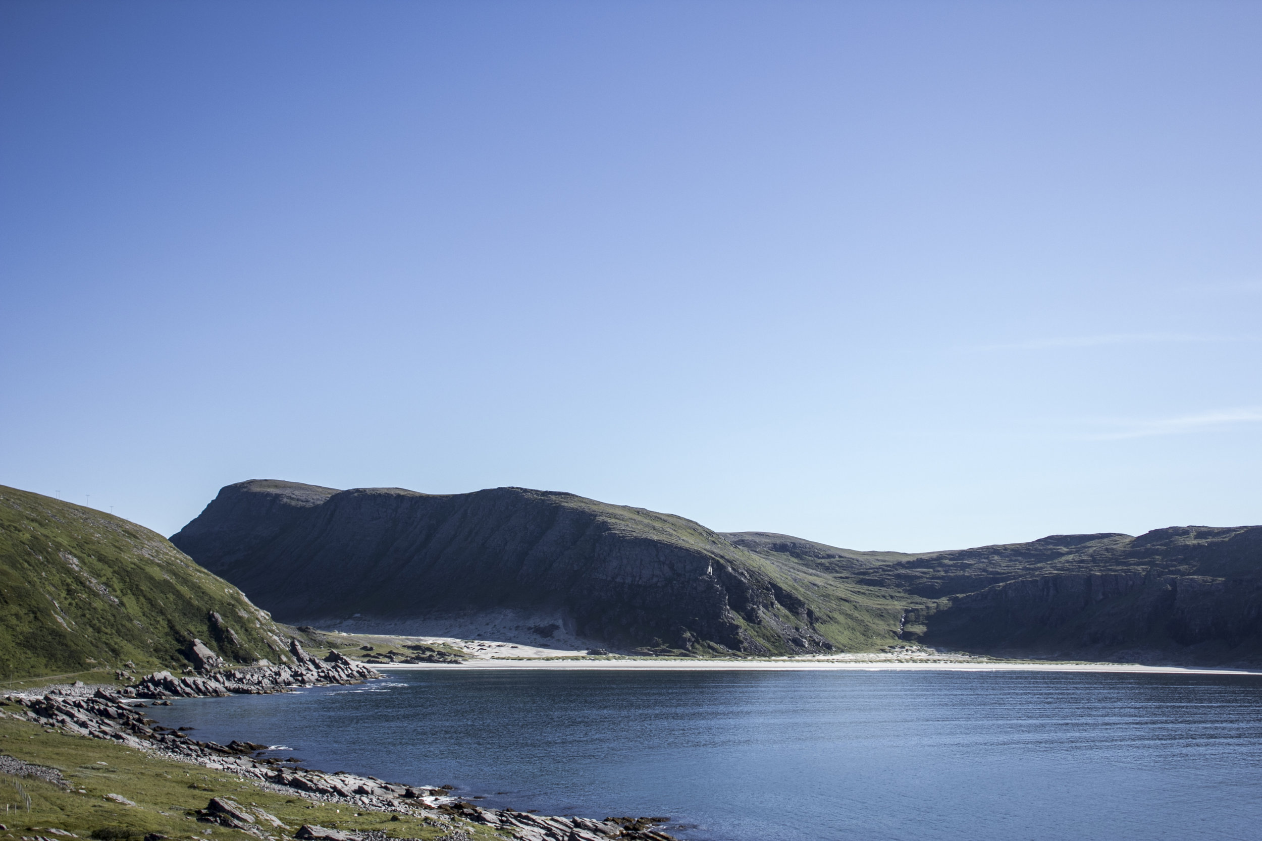
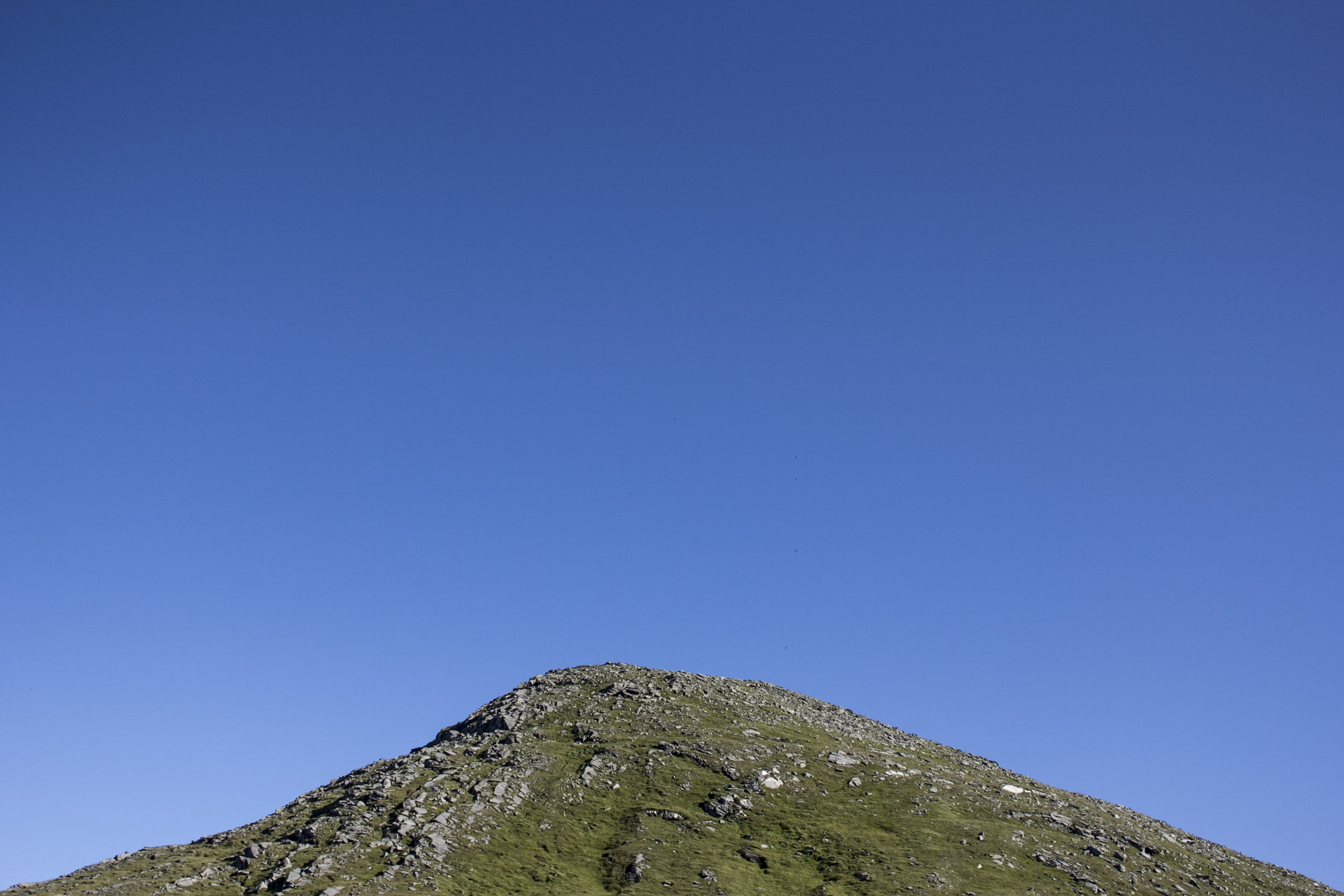
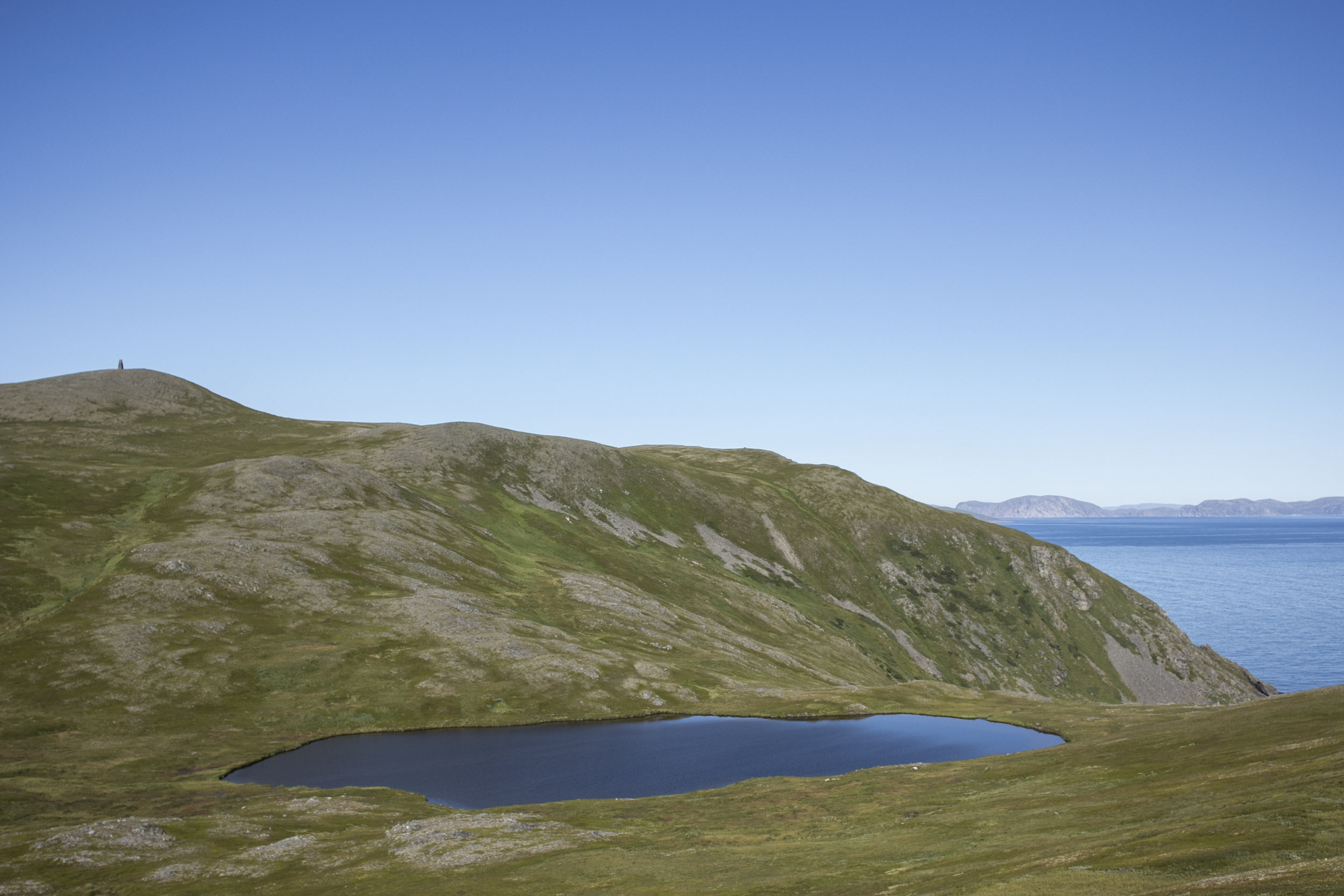
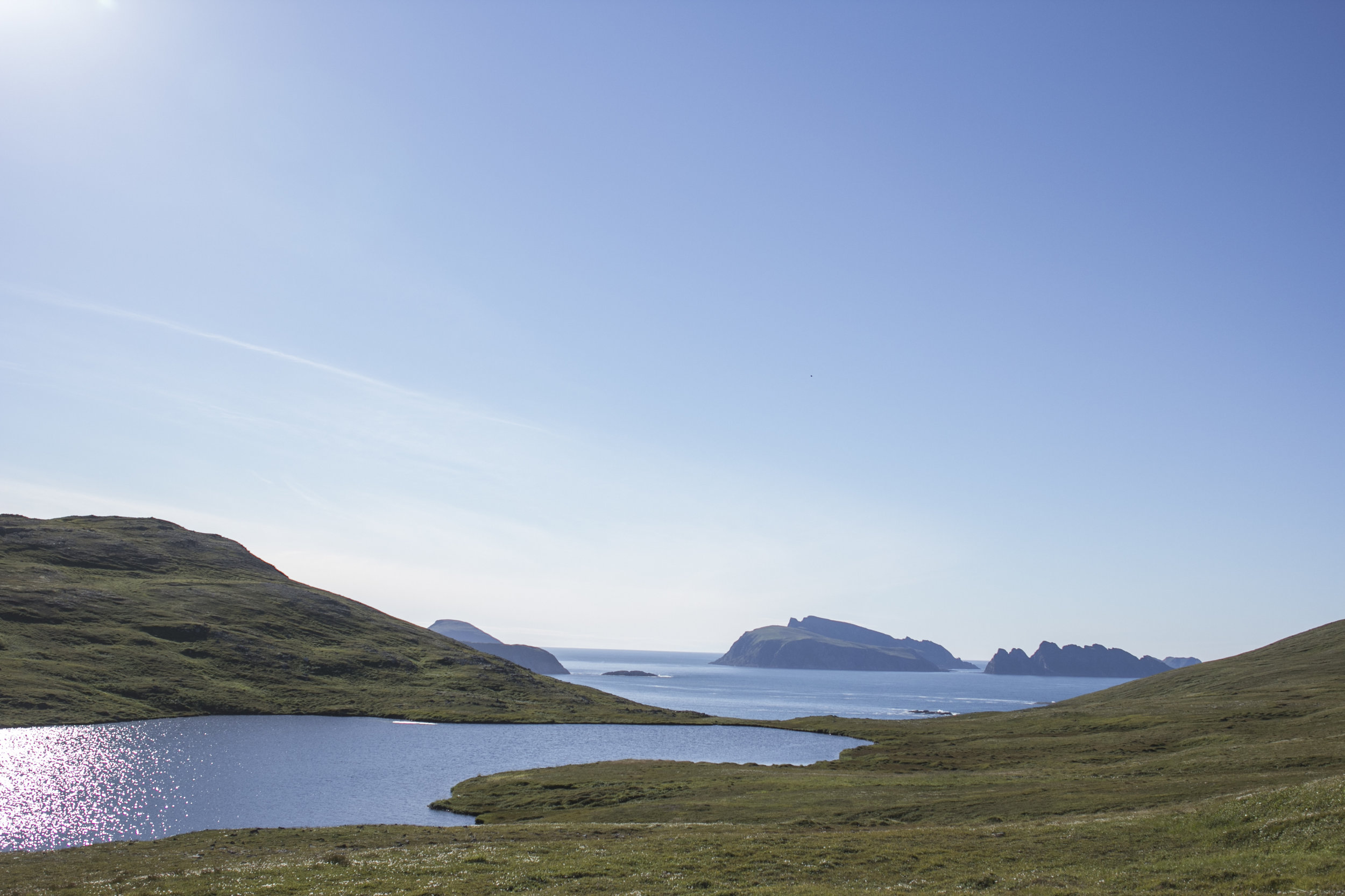
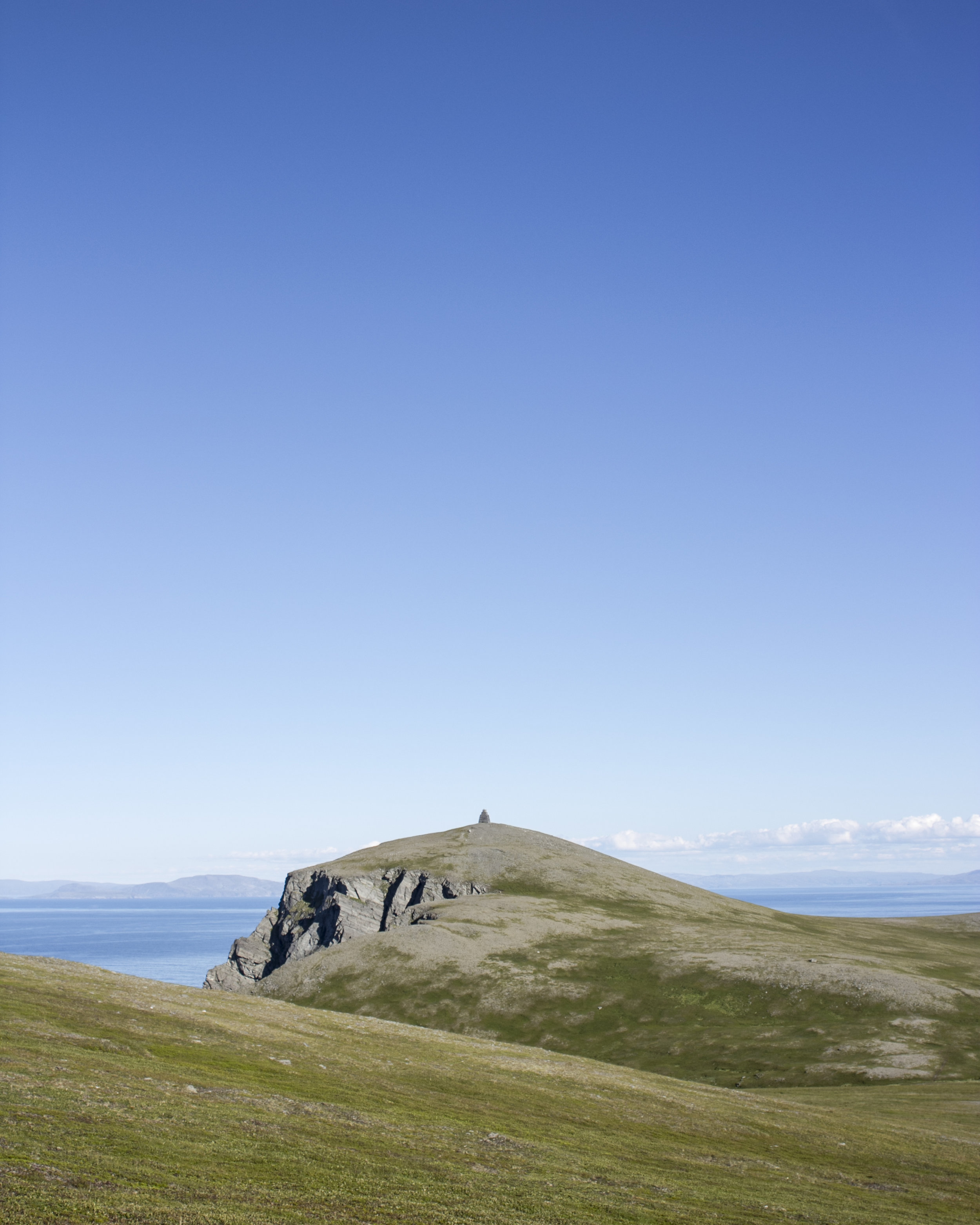
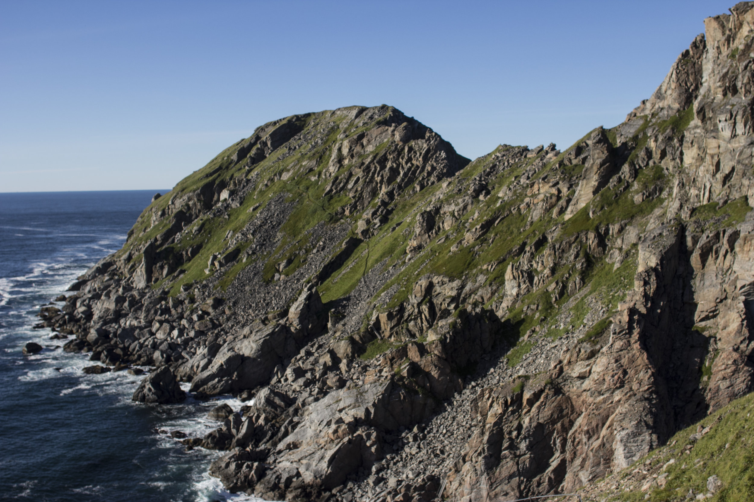
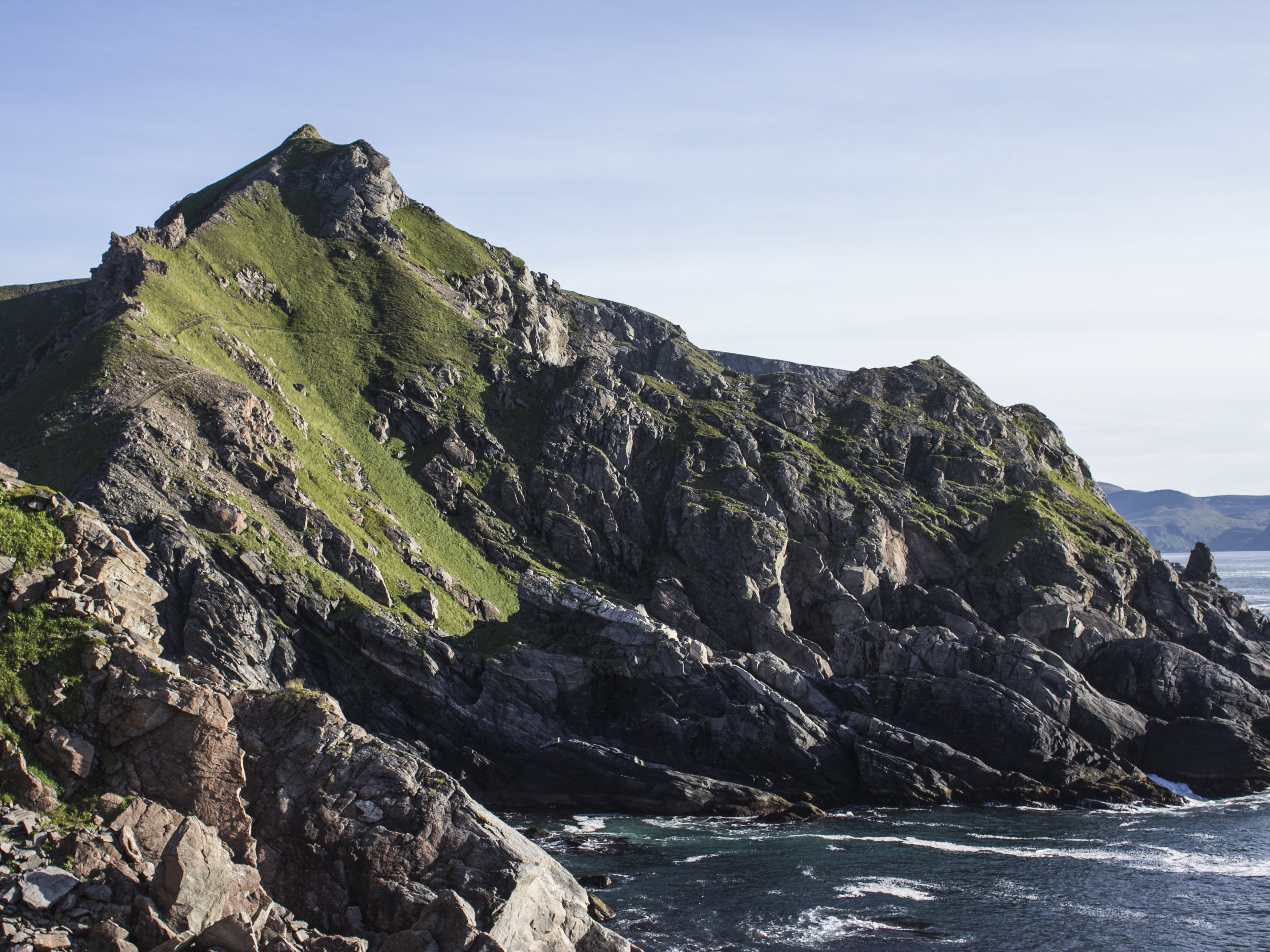
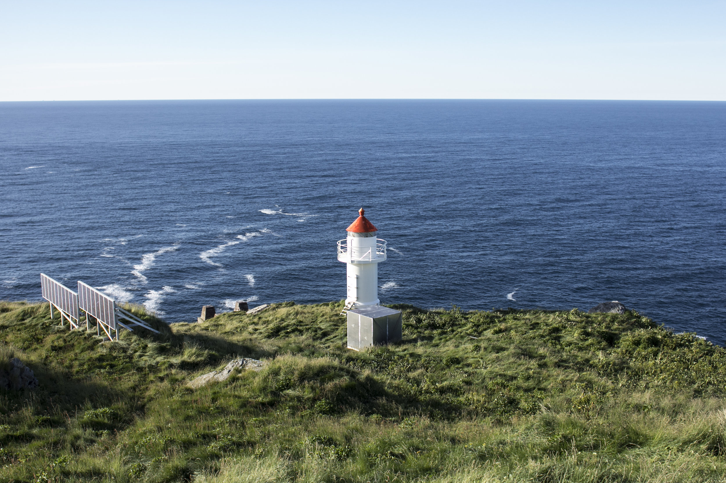
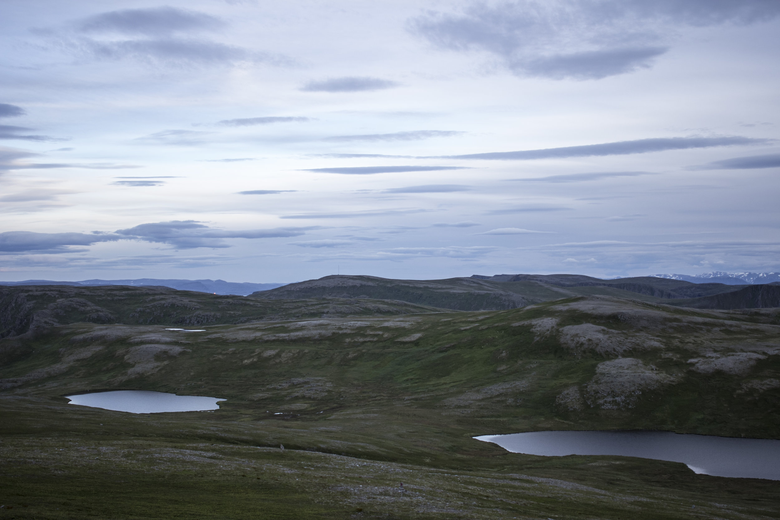
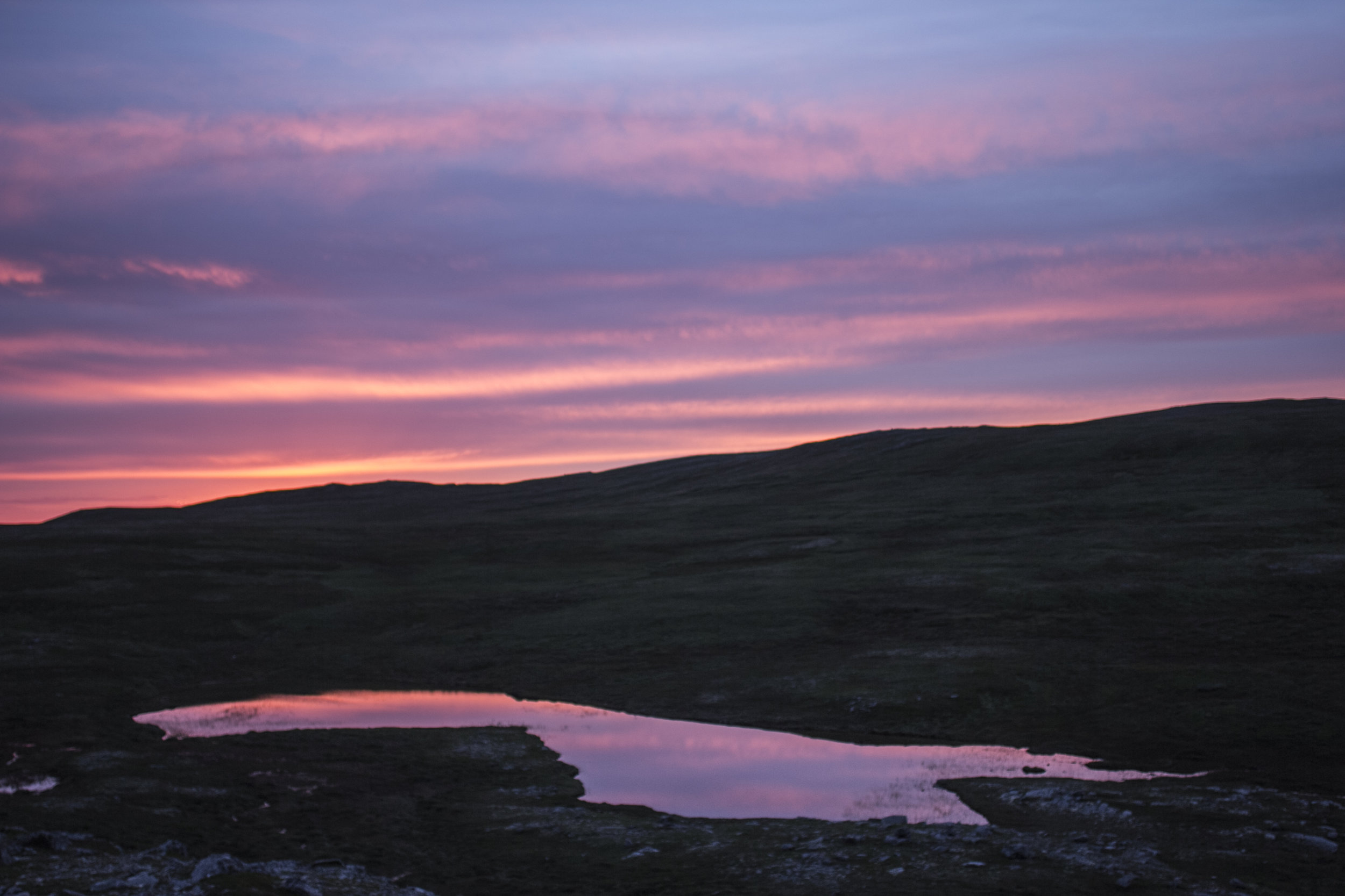
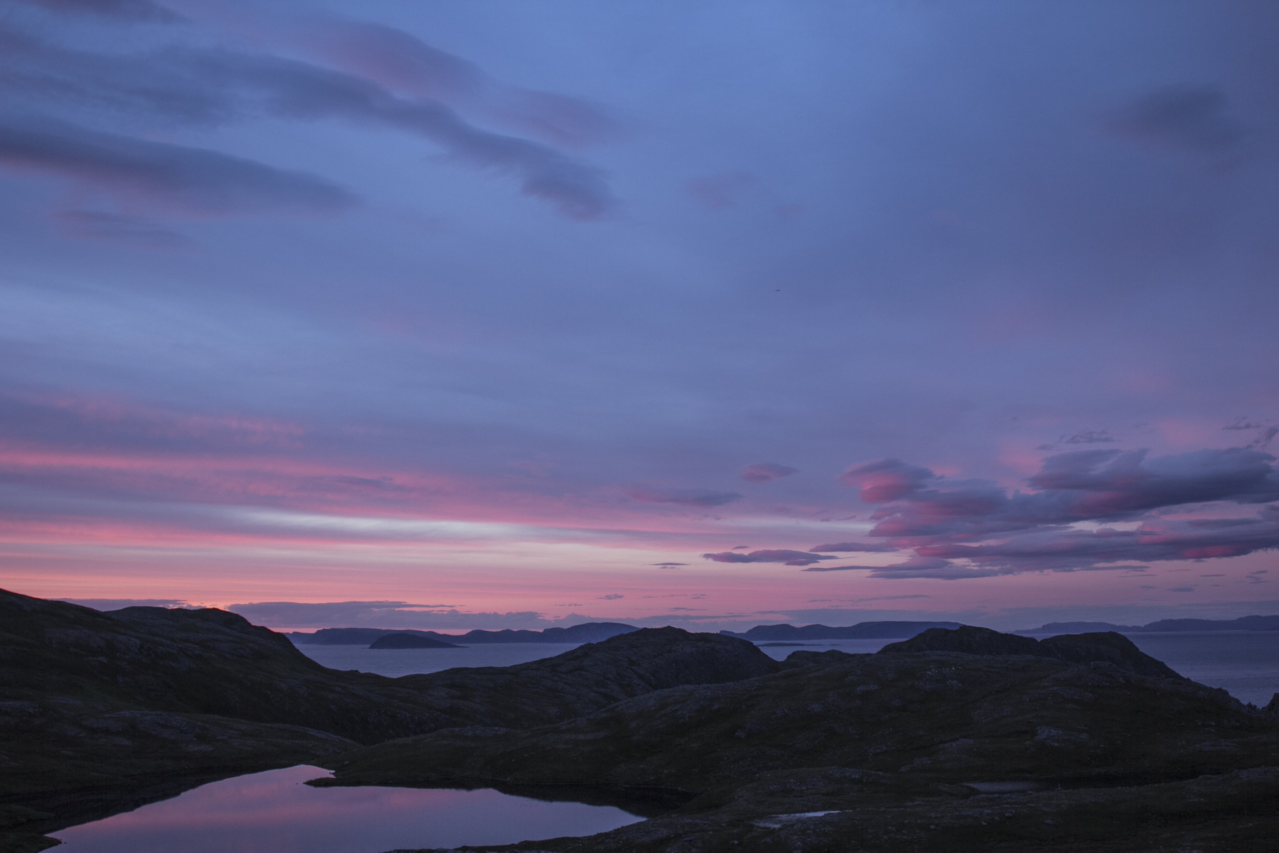
The hike in question took me all the way to the northernmost point of Sørøya. It is by no means the most northern point of Norway, but I think I have a thing with reaching the ends of things. The journey started along the same route as I had taken getting to Sandfjellet the other week. After tumbling once more down the dunes I veered north and continued the long hike upwards over vast rolling hills and past several lakes. The weather was magnificently calm and clear for the most part; a polar opposite to the continuous gales that had battered us day and night prior to the day of the hike (and starting up again the very next day after said hike).
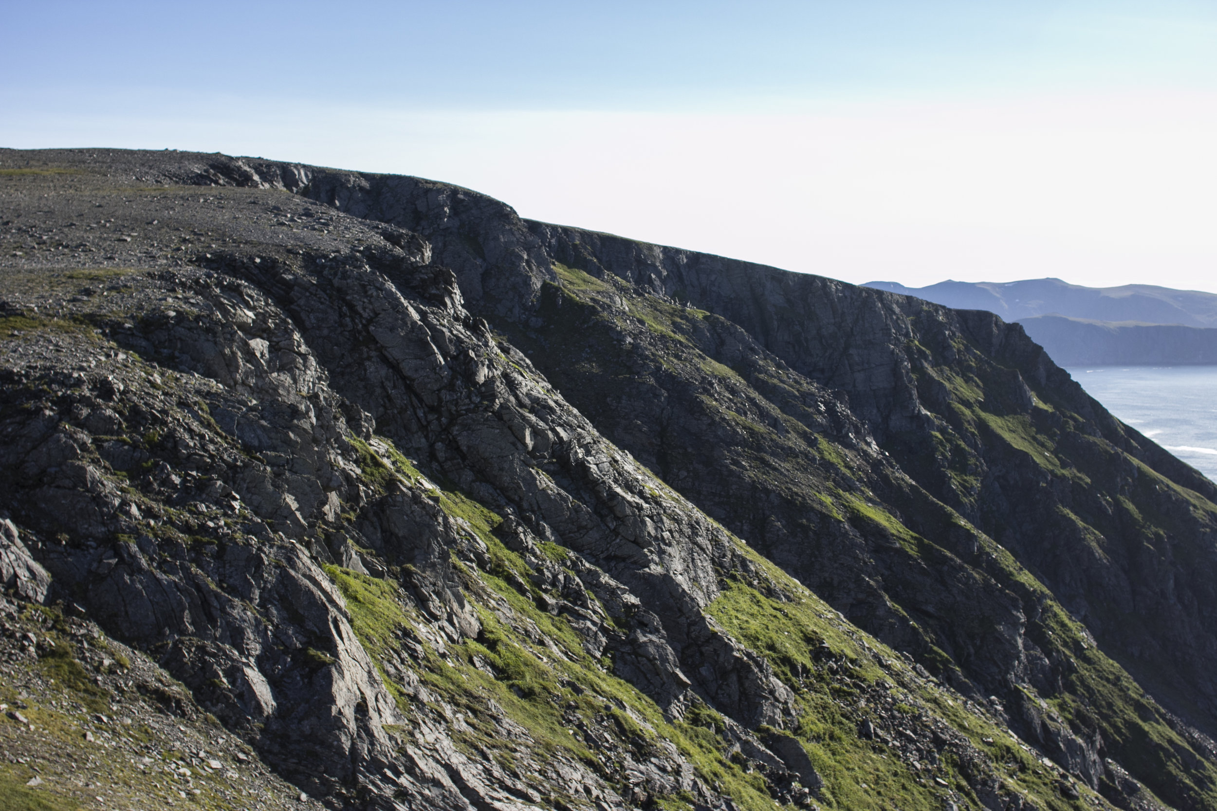
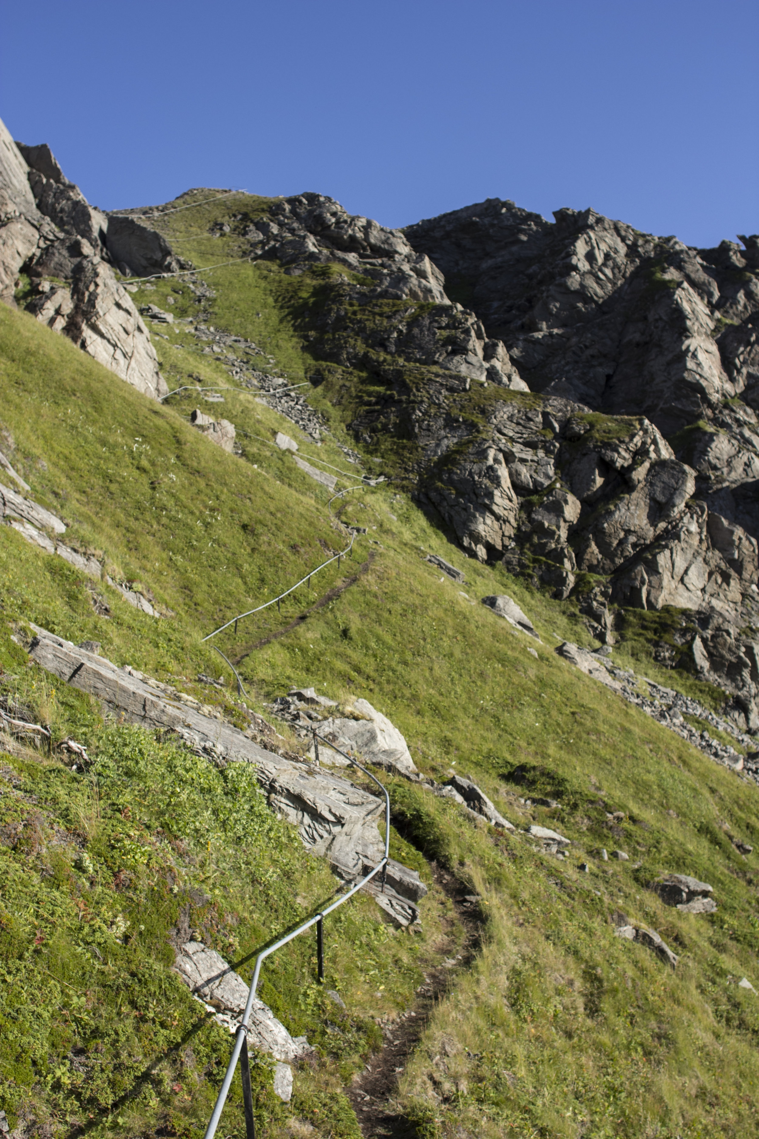
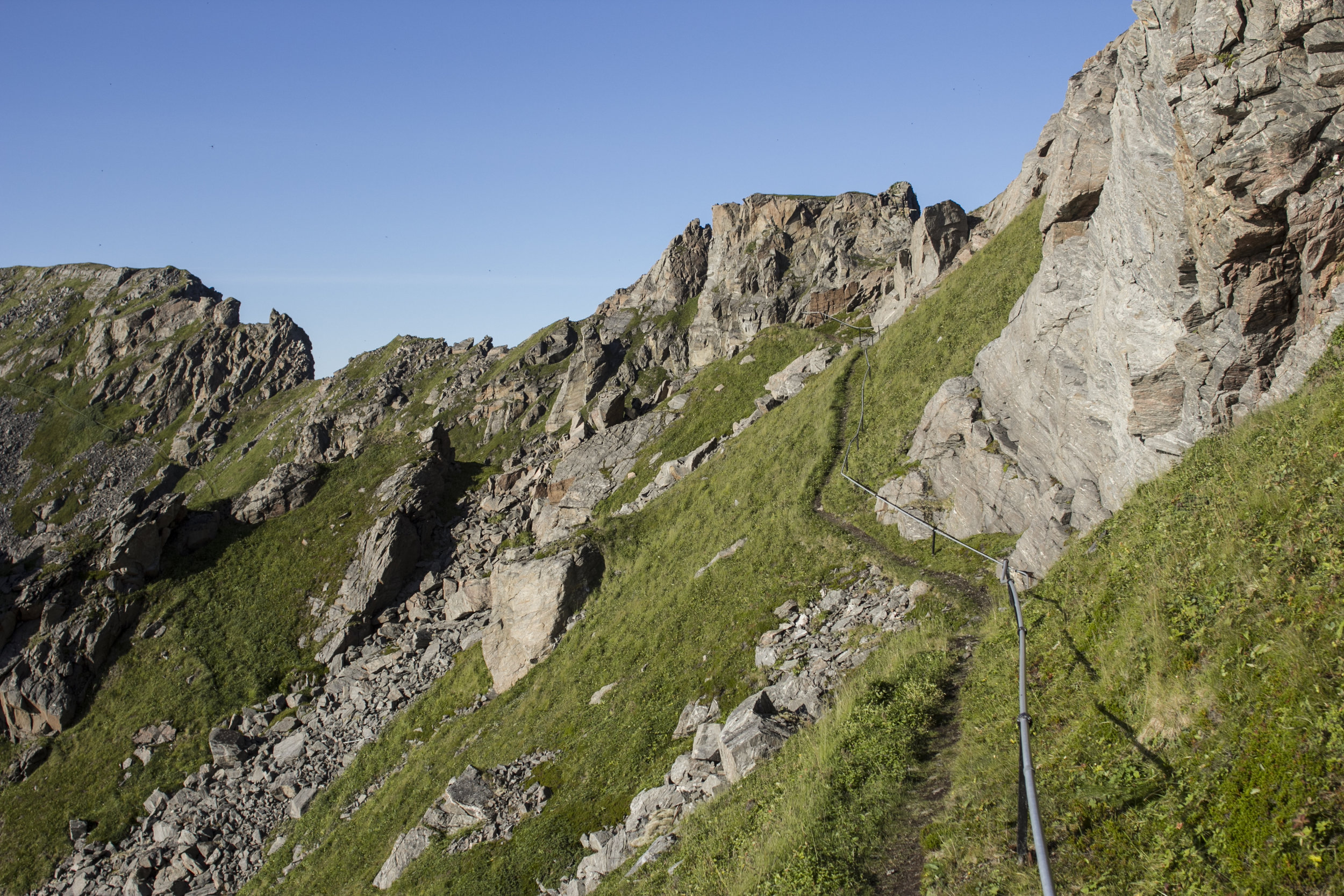
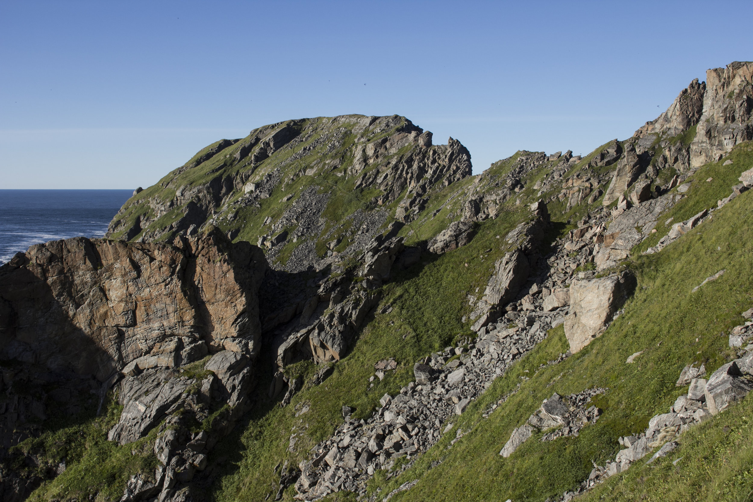
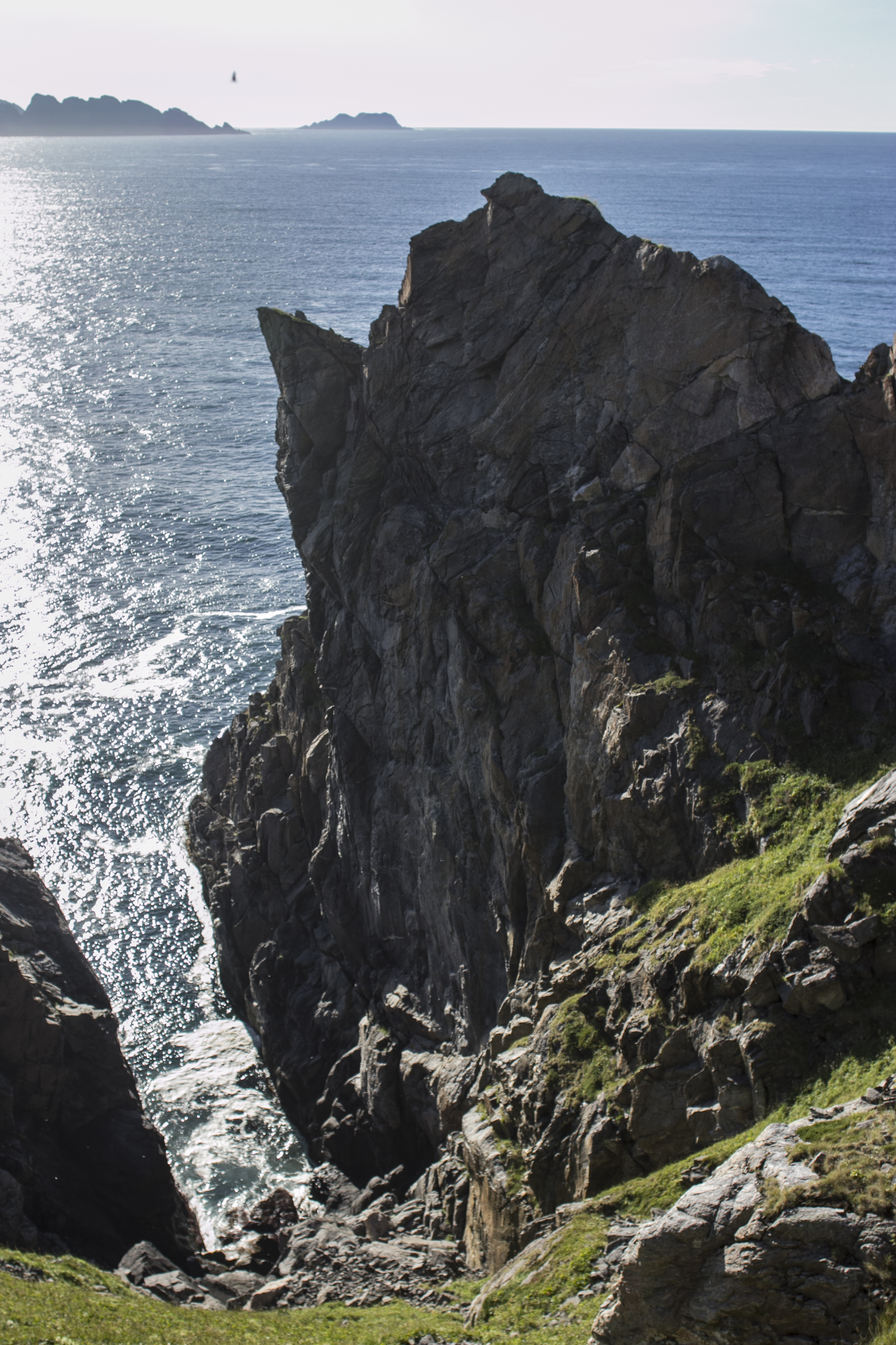
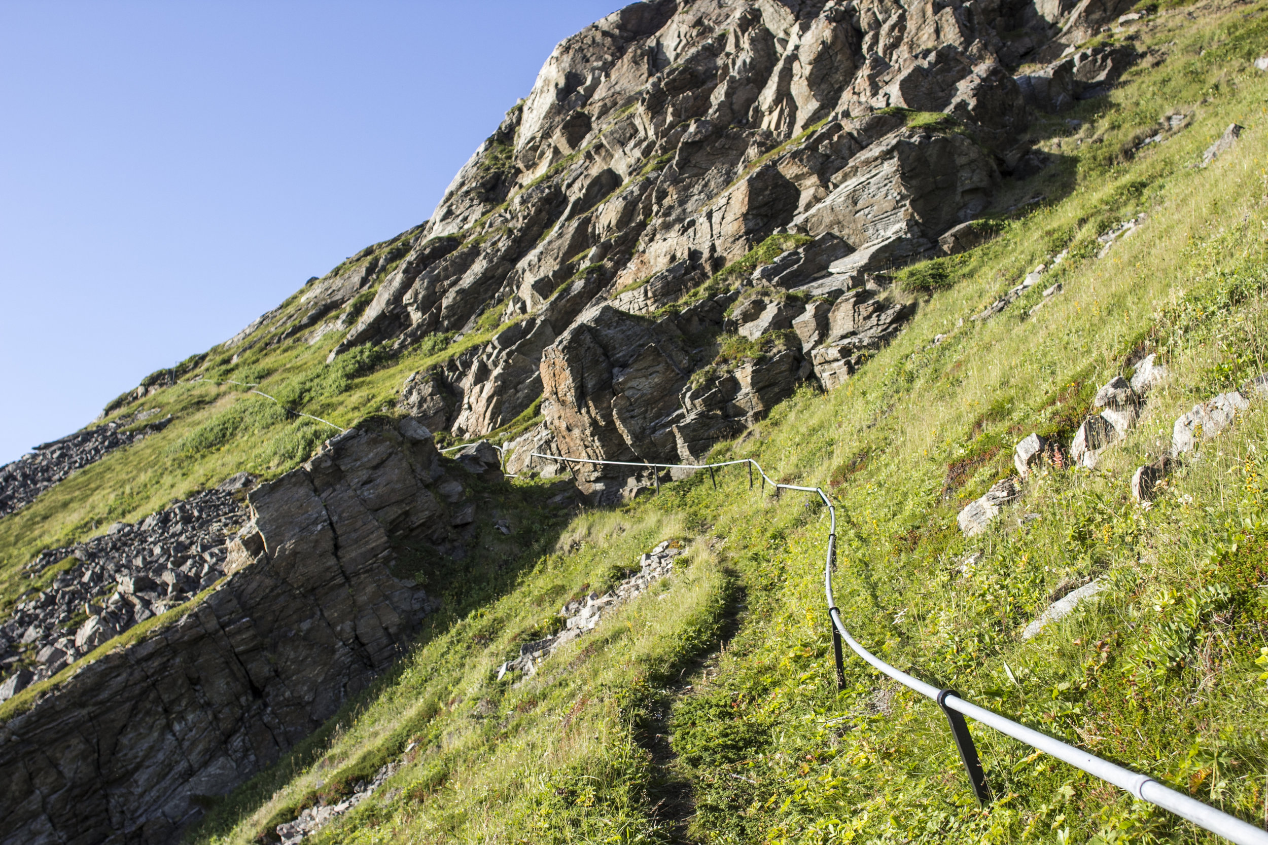
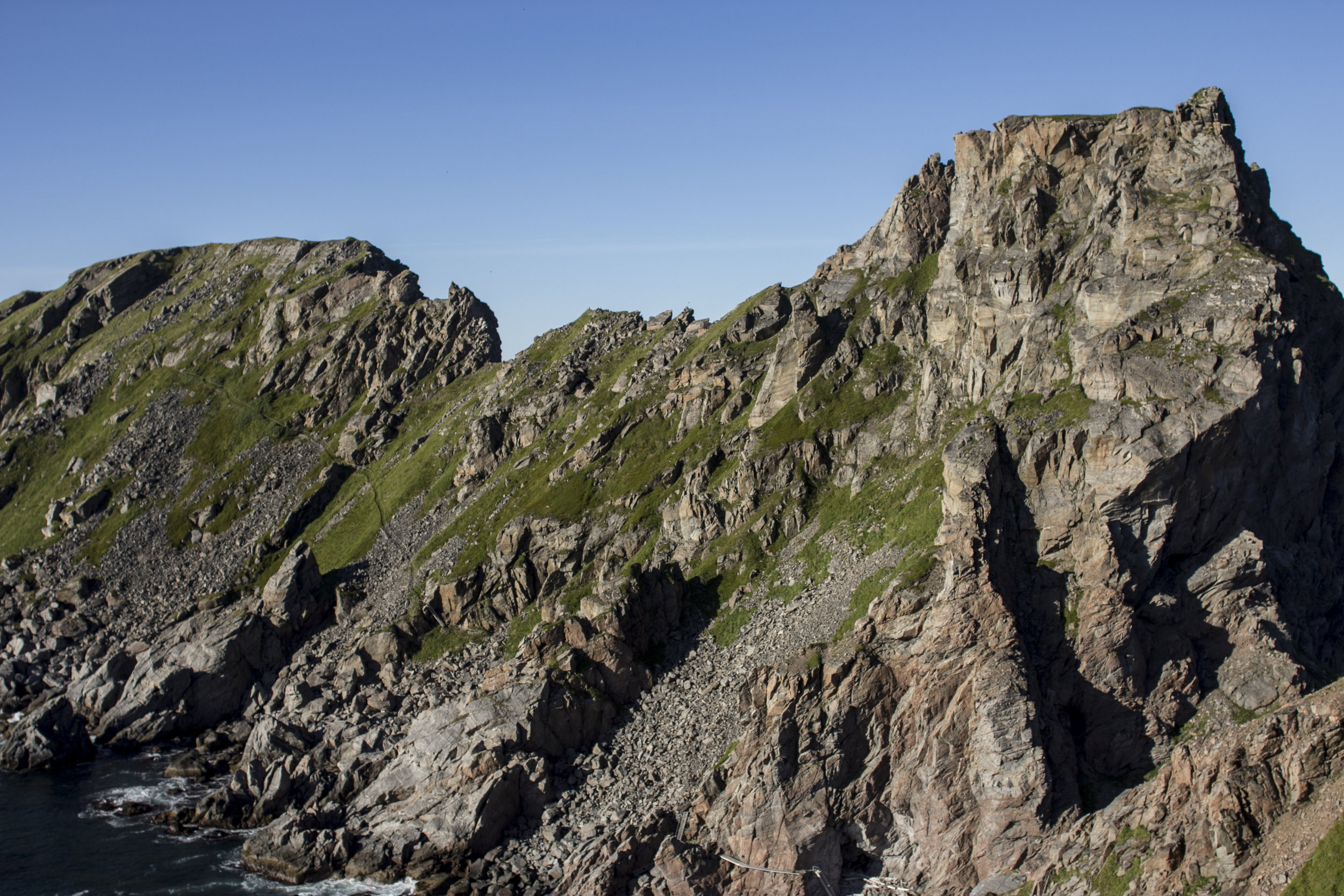
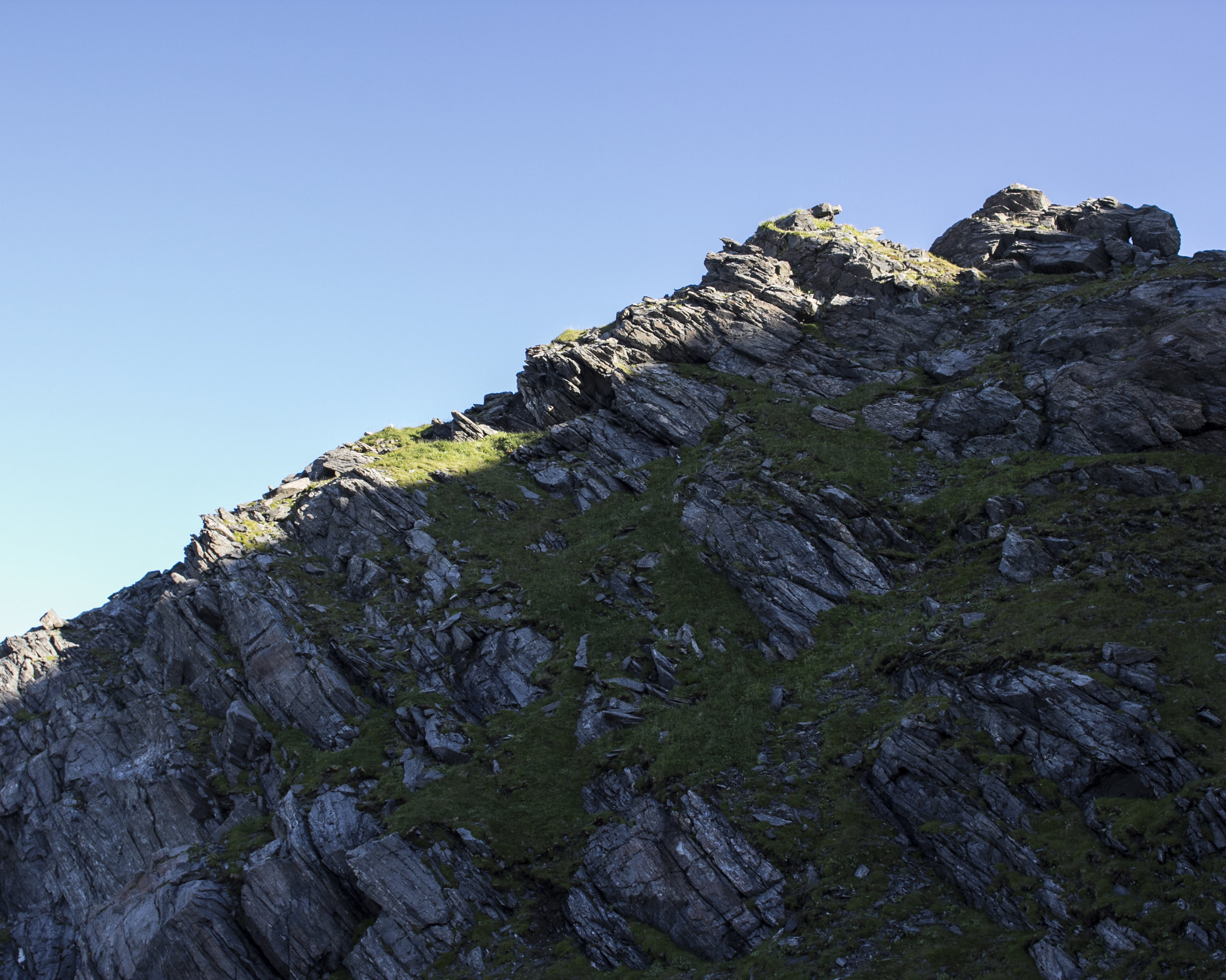
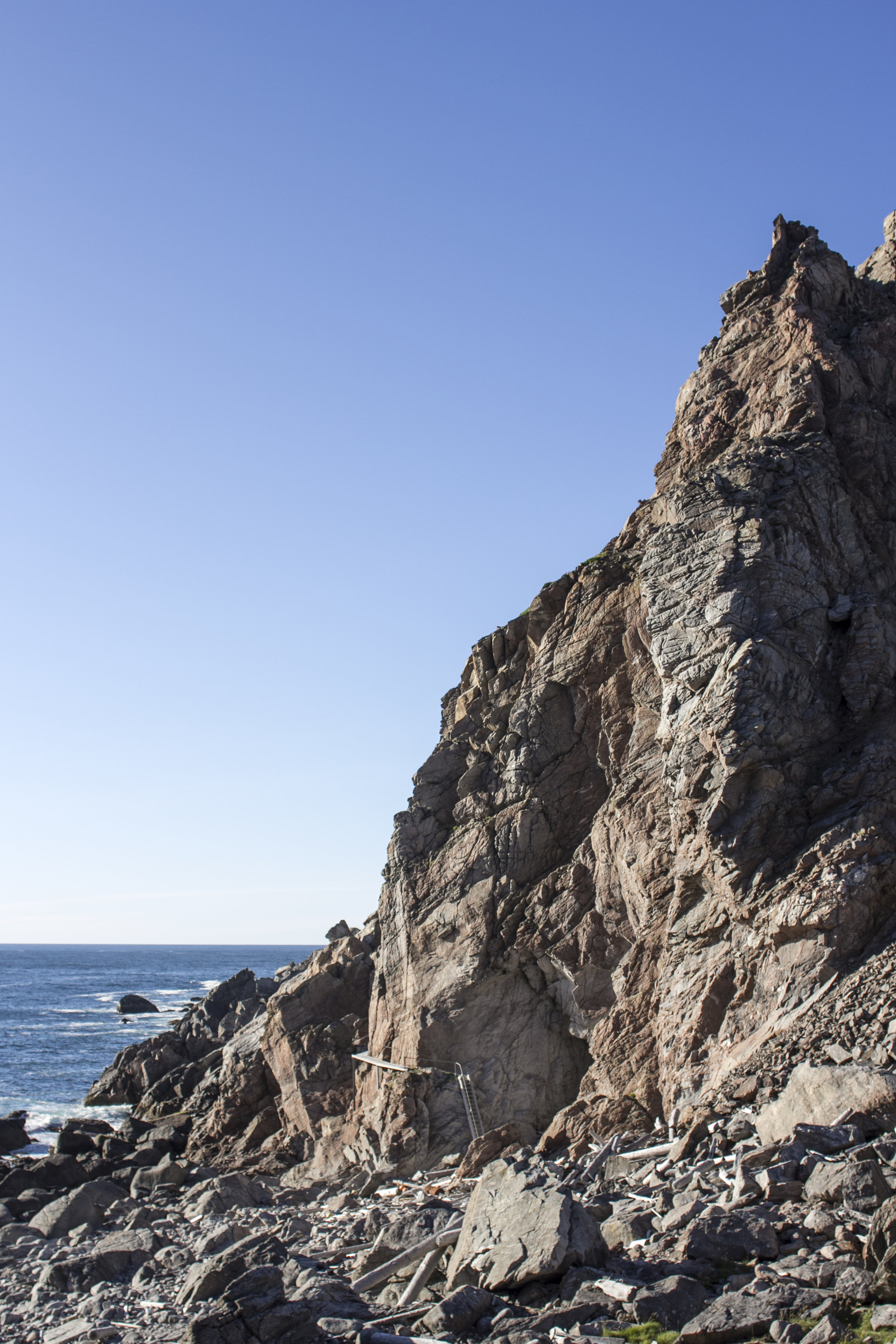
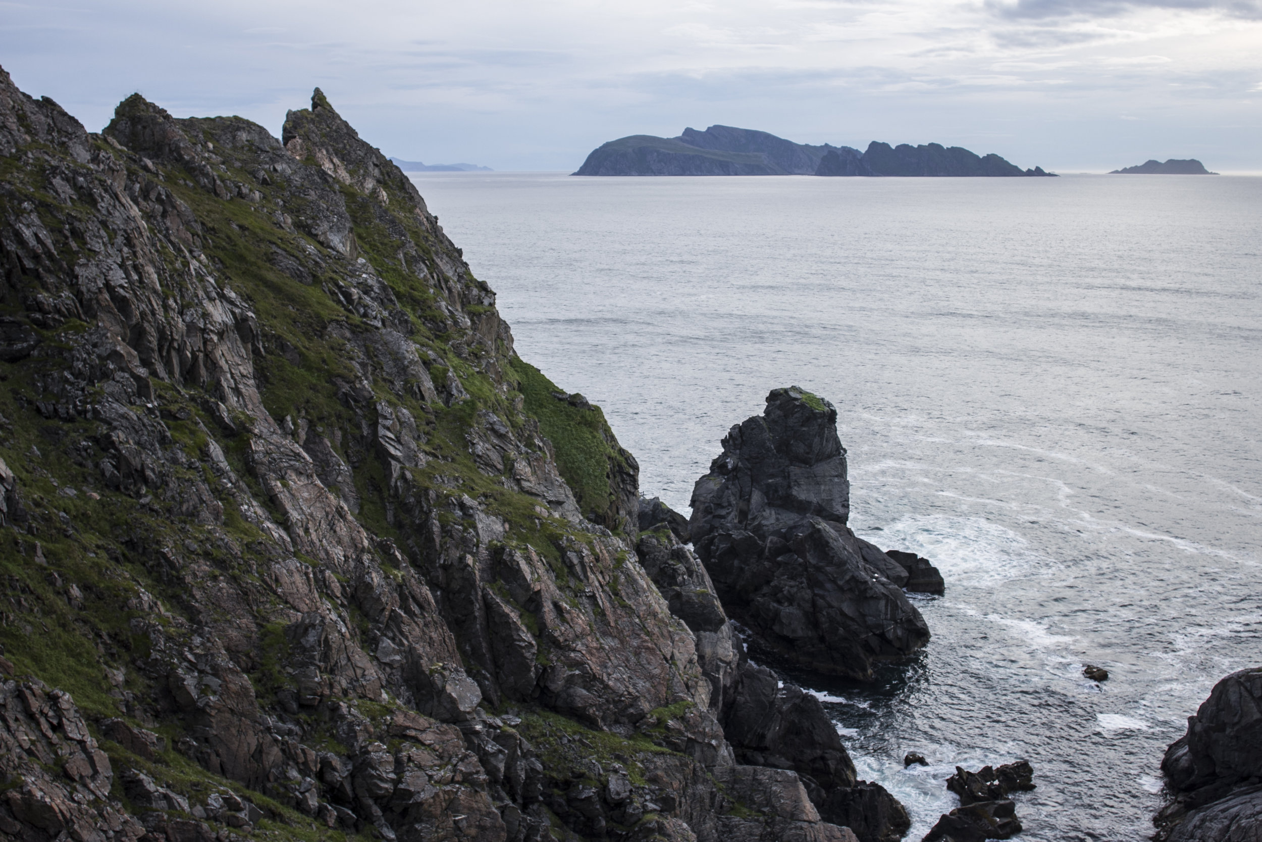
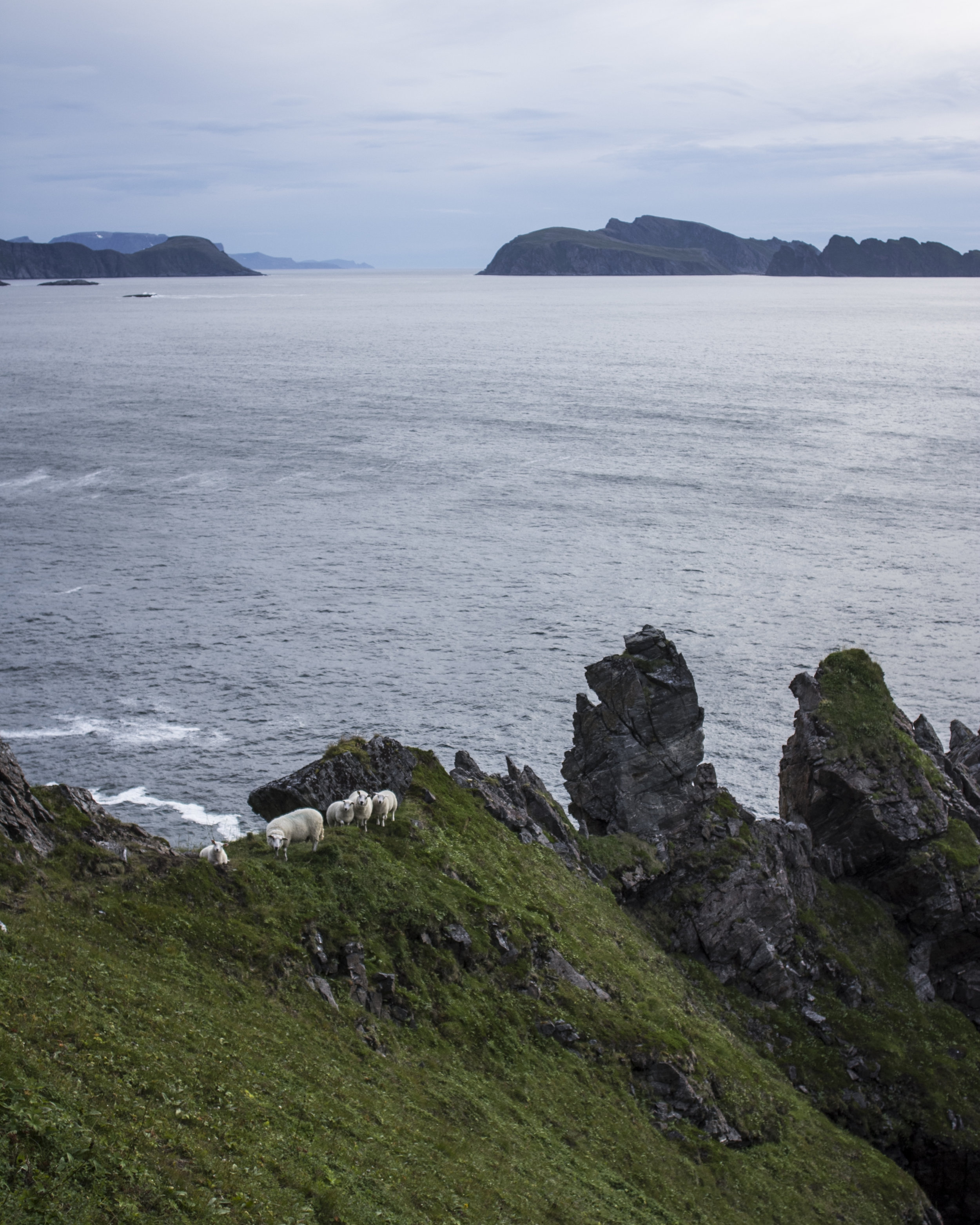
The hills gradually tapered off towards the pointy end until finally I was left with the fun part - a pathway made up of narrow trails carved into the steep and almost sheer sea cliffs. The fact that whoever made it had actually bothered to add in a hand rail made it pretty legit, as so many other hikes I've tried in Norway seem to disregard human safety so easily. I would definitely not recommend it to anyone bothered by heights. Had there been any wind or rain I would have been more hesitant to attempt this part of the walk, but things stayed calm so I kept going.
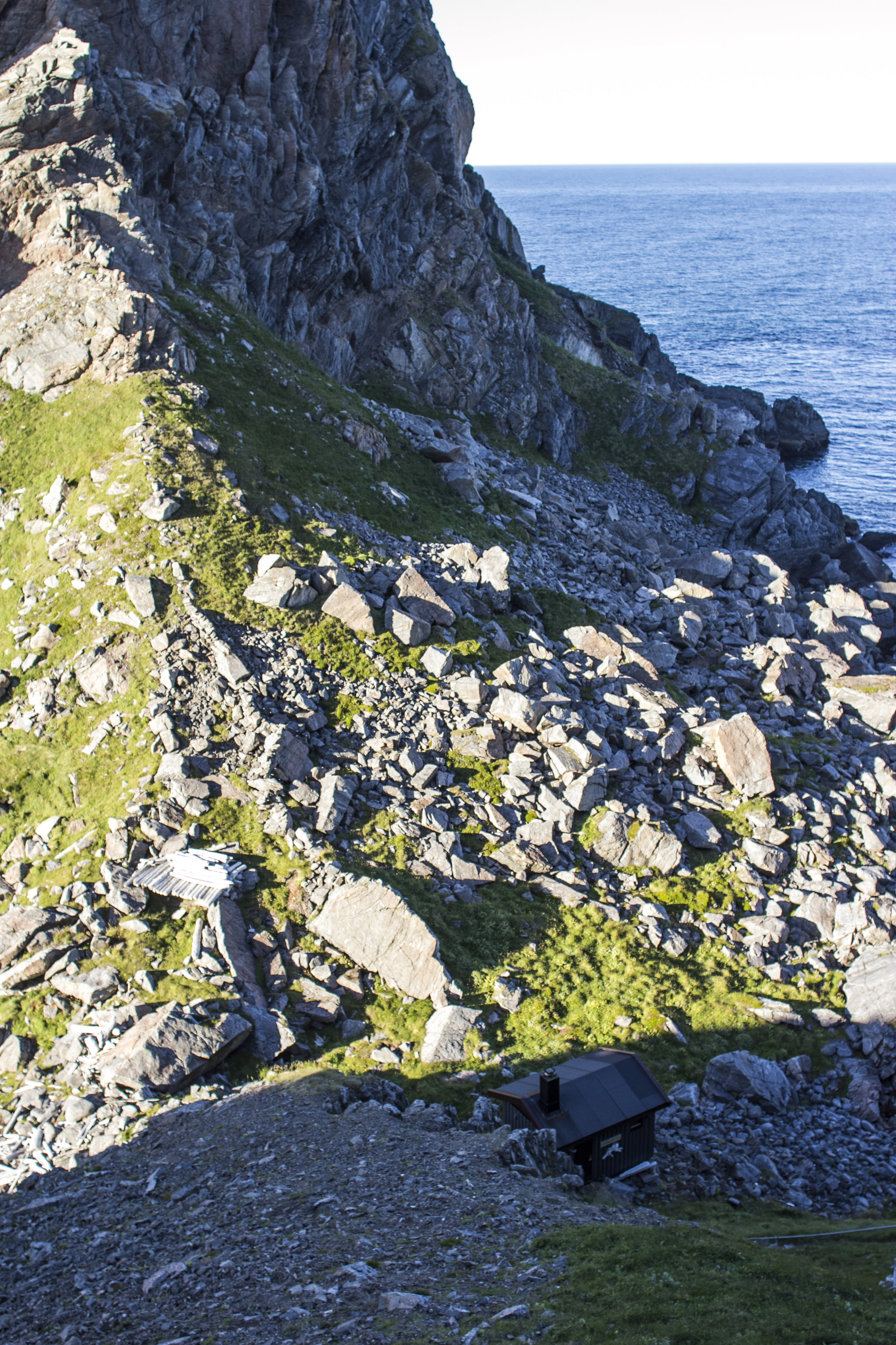
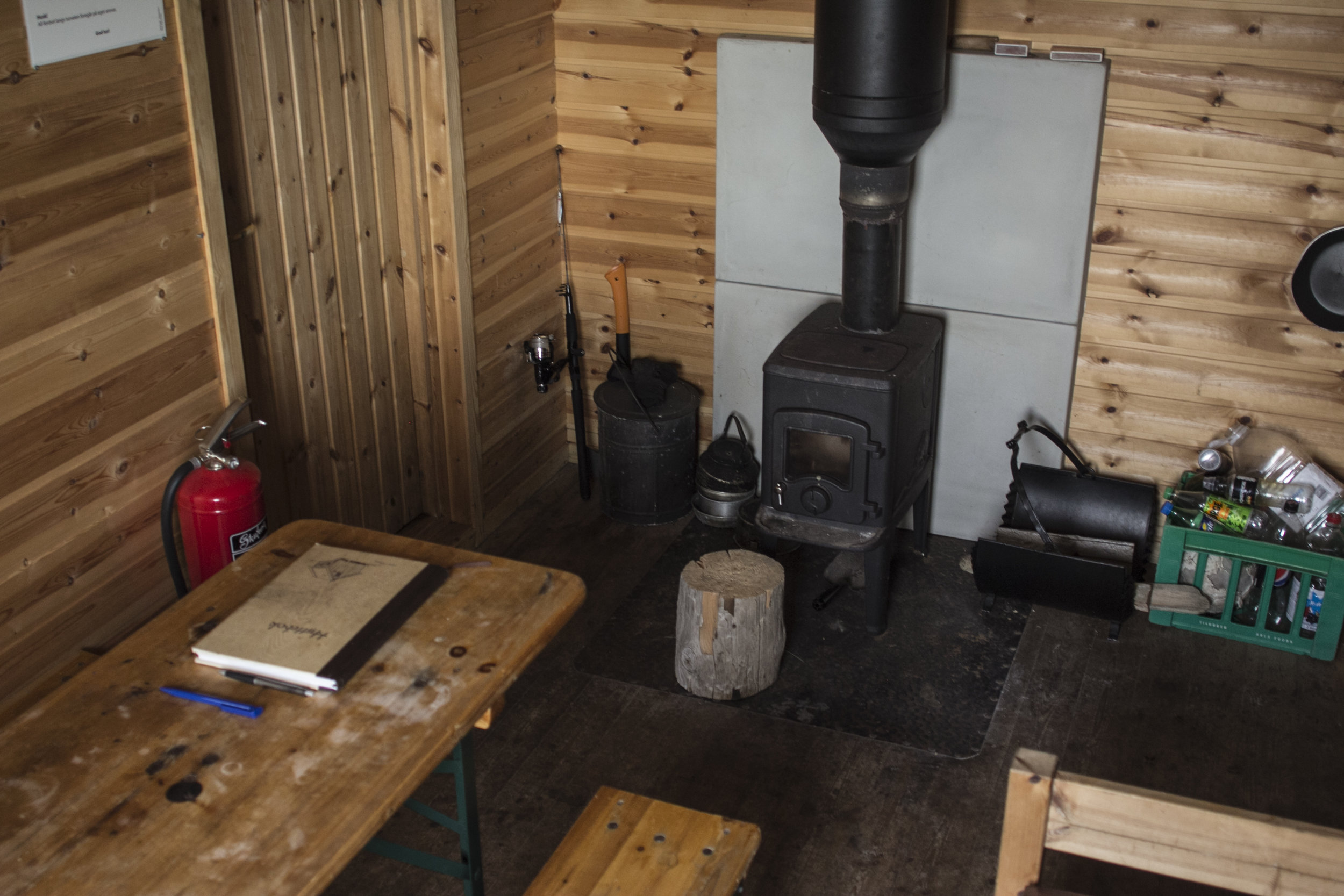
Almost at the end is a small hut hiding in a break in the cliffs. It stays unlocked for bypassing hikers wanting to stay the night, like the other DNT huts around the country. I considered staying but knew that ran the real risk of having to walk home the next day in another storm, so I left after an hour or so of nursing my limp aching feet.
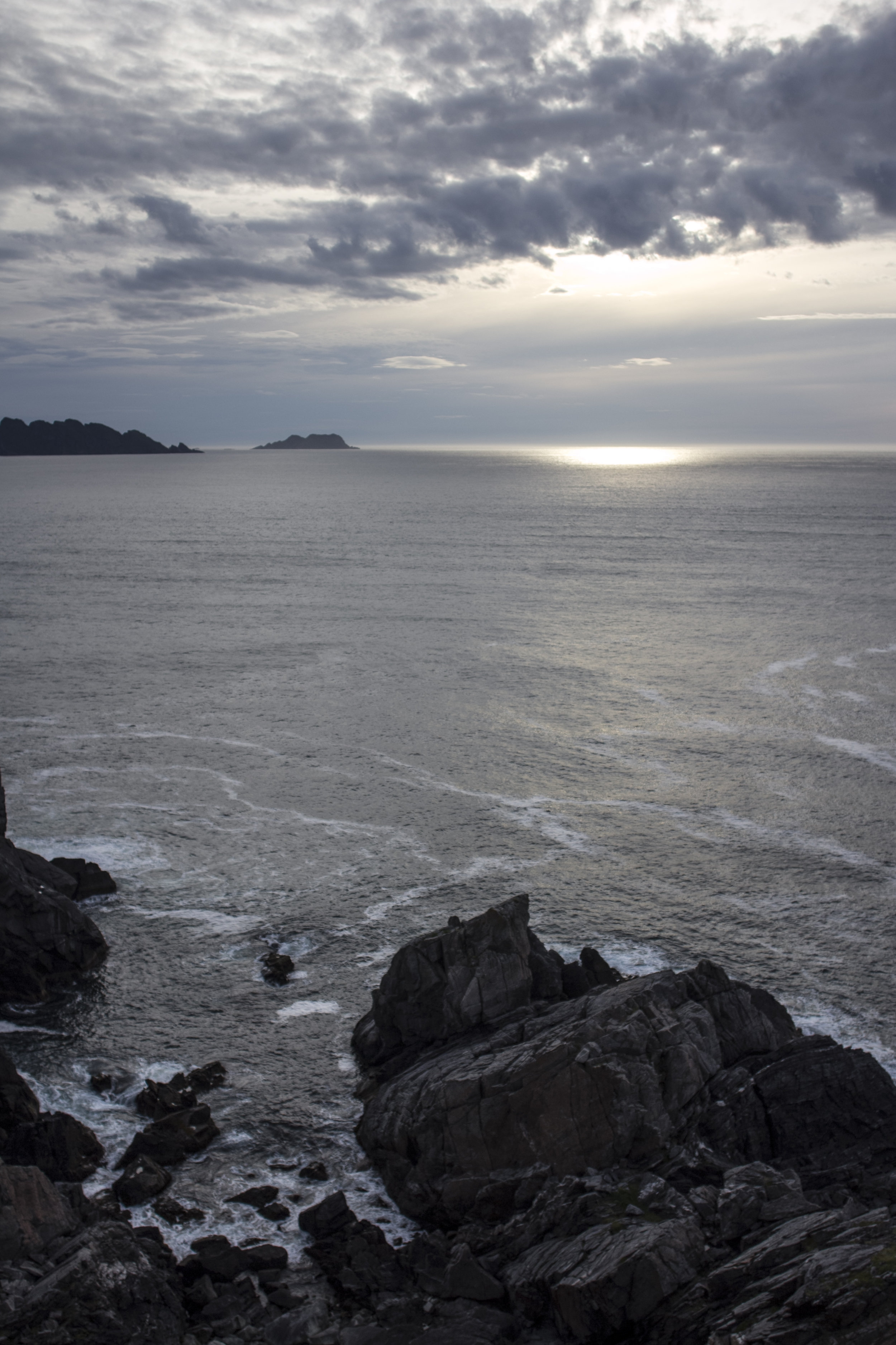
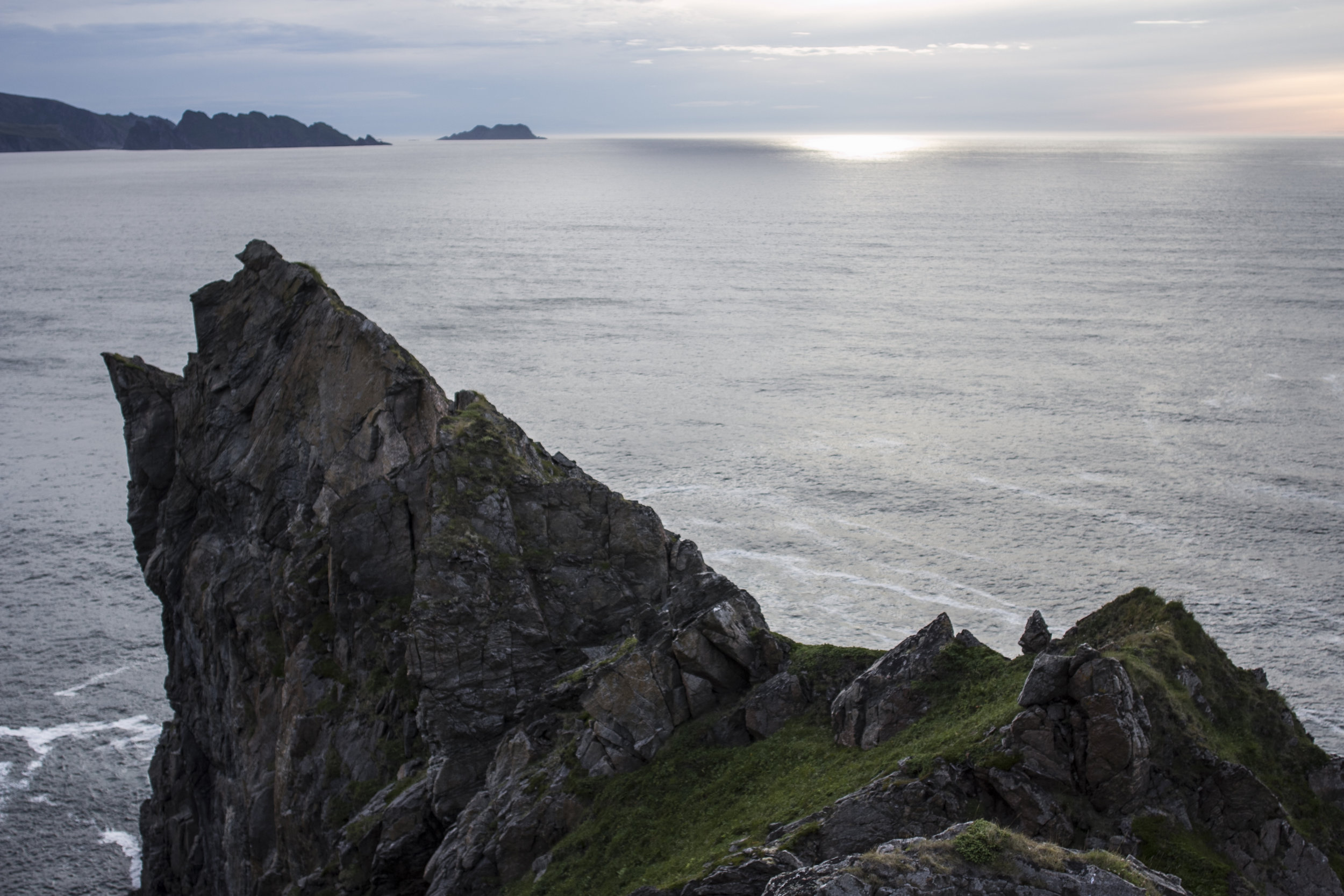
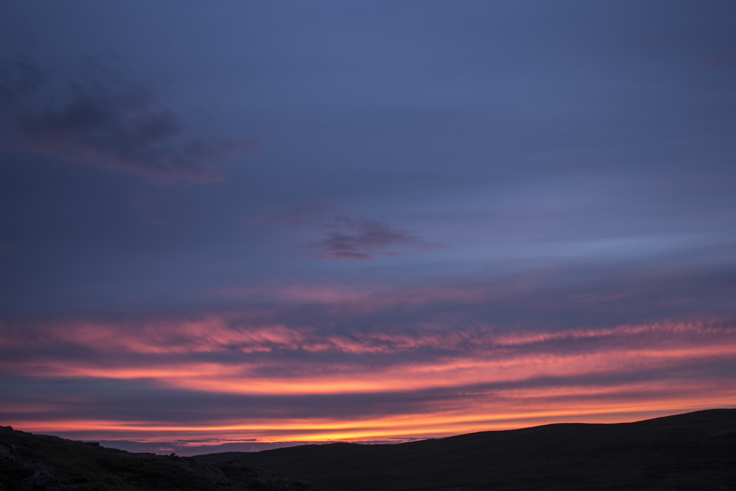
In hindsight I should have delayed the start of the hike by a few hours, as the hut would have been the perfect spot to watch a late sunset. I had the sunset behind me as I trudged back home, with the best part of it clearly obscured by the hills. I arrived back at the house almost 10 hours after I started and my legs began cramping immediately after I kicked off the first boot. Job well done.